

Klicken Sie auf die Karte, um nach Städten im Umkreis zu suchen. (Sie können die Karte auch in Ihre Internet-Seite einbinden.) |
Fügen Sie in den HTML-Code Ihrer Seite einfach folgenden Code ein: <a href="https://ch.postleitzahl.org/waadt/les_charbonni%C3%A8res/" target="_blank"><img src="https://ch.postleitzahl.org/waadt/images/karte_les_charbonni%C3%A8res.png" alt="Les Charbonnières"></a> |
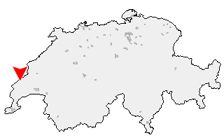
Städte im Umkreis von Les Charbonnières |
|
| Le Chenit (12.83 km) | Le Lieu (3.01 km) |
| Gimel (15.85 km) | L'Abbaye (3.46 km) |
| Bière (13.22 km) | Berolle (11.3 km) |
| Mollens (VD) (10.07 km) | Montricher (8.18 km) |
| Vallorbe (6.53 km) | Ballens (13.43 km) |
| Vaulion (5.54 km) | Mont-la-Ville (5.48 km) |
| L'Isle (7.58 km) | Yens (17.32 km) |
| Ballaigues (10.42 km) | Mauraz (10.47 km) |
| Apples (14.86 km) | La Praz (7.98 km) |
| Pampigny (12.4 km) | Juriens (8.82 km) |
| Cuarnens (9.79 km) | Reverolle (17.07 km) |
| Sévery (14.37 km) | Bussy-Chardonney (17.99 km) |
| Premier (10.5 km) | Clarmont (16.62 km) |
| Chavannes-le-Veyron (11.9 km) | Lignerolle (13.27 km) |
| La Chaux (Cossonay) (11.35 km) | Moiry (10.38 km) |
| Cottens (VD) (14.72 km) | Romainmôtier-Envy (11.09 km) |
| Colombier (VD) (16.67 km) | |